
Massillon Neighbors Through Block Records
The records around a block answer different questions. The Auditor and GIS show parcels that physically touch or surround an address. A Recorder search shows recorded parties and land transactions. City permit and code records document an address-linked event. A historic Burch street page can place a name or business at a house number in its printing year. Those sources can help orient a person who wants to understand a Massillon block, but none is a complete list of everyone living there.
| Block source | What it can show | Access and limit |
|---|---|---|
| Auditor results and GIS | Parcels near an address, mapped adjacency, owner, tax-mailing, and legal data | Public parcel routes; not an occupant list. |
| Recorder instruments | Recorded party, document, date, and legal-description trail | Search by party or land description; a transaction is not community membership. |
| Building and code records | Permit, inspection, or violation-status activity tied to an address | Portal or request route; a work record does not identify a resident. |
| Burch street pages | Historic house-number, occupant, business, and occasional telephone snapshot | Selected digitized years only; historical and incomplete. |
| Neighborhood associations | Recognized community contact points | The City provides contacts, not a member roster. |
Start with a precise street number. If an address turns out to be an older form or a nearby parcel, the legal description, plat, and map are better continuity tools than a name alone. The key distinction is simple: a parcel owner, a recorded party, and an actual occupant are not interchangeable labels.
Mapping Massillon Neighbors by Parcel
Stark GIS treats parcels, streets, and addresses as key base layers. The Auditor map route lets a user select a result and then choose Maps, where the parcel is highlighted. The official help documents zoom, pan, point, box, and freehand selection, plus Identify for parcel detail. That supports a limited, repeatable adjacent-parcel method. It maps the land around an address first and opens a selected profile one parcel at a time.
The following parcel-view image comes from the Stark County GIS parcel view.
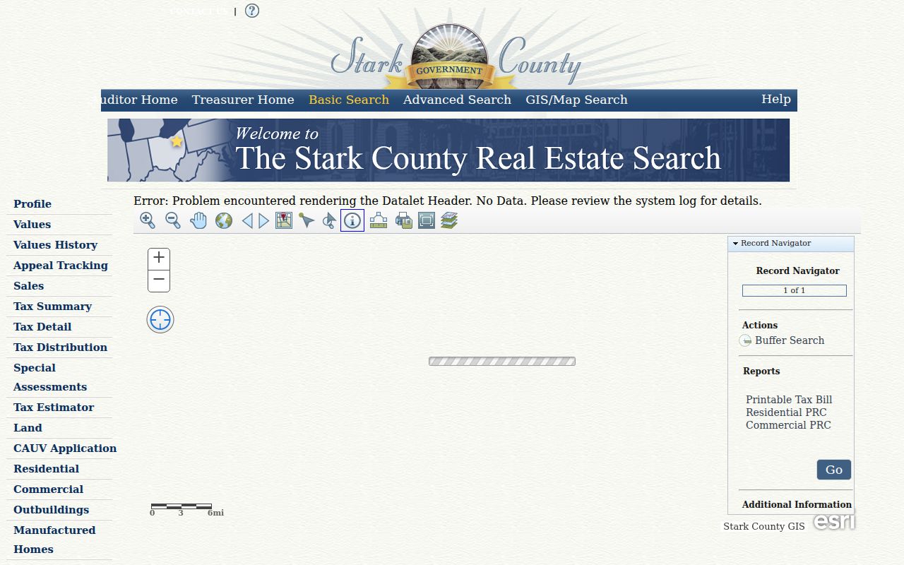
The map is a starting point for physical adjacency. Open the matching parcel profile before recording an owner, mailing block, or legal description, and retain the map date with the search notes.
- Search the address in the Stark County Auditor Real Estate Search and confirm the parcel and situs address.
- Open the map, then use Identify or selection controls on a parcel that actually joins or sits beside the target parcel.
- Open each selected profile and note owner, tax-mailing block, parcel ID, and legal description as separate fields.
- Use the Recorder only after a parcel or legal-description match is established. Compare dates and land description before connecting entries.
Massillon Parcel Records for Neighbors
The Auditor property profile opens with Parcel, Owner, Tax Mailing Name and Address, Legal, Credits and Programs, and property inspection or review material. The address is the situs, or physical parcel location. The owner is the tax-roll owner. The mailing field is tax correspondence. A property can have an owner who receives mail elsewhere or holds the parcel through an entity or trust. For that reason, the profile is strong evidence about land records but weak evidence about a present household.
The Stark County Tax Map Department provides the land-record bridge between a street number and a plat, lot, or legal description. Its work includes recorded deeds and plats, survey information, parcel combinations and divisions, easements, replats, street dedications, vacations, and condominium records.
When an old number does not match a current search, retain the parcel ID and legal description. They can lead back through a subdivision or recorded plat without claiming that one address label has never changed.
- Parcel
- A defined piece of land in the county tax and mapping system.
- Situs address
- The physical address assigned to the parcel, which differs from the tax correspondence field.
- Plat
- A recorded map that lays out lots, blocks, streets, or other land divisions.
Massillon Block Deed Records
Once a selected parcel has a legal description, the Stark County Recorder Official Record Search can add the document trail. Search a current owner or grantee, then narrow with the legal description, subdivision, document type, and a time range. Capture the instrument number, book or page if shown, grantor, grantee, recording date, and legal description. A mortgage or release does not itself prove a sale, and a recorded party is not necessarily a current neighbor.
Plats and replats matter when a block changed shape. The Tax Map Department reviews divisions, combinations, easements, and street changes. A physical map, parcel history, and recorded land description should agree before an earlier owner or building event is carried forward. For a full named-street record chain, use the Massillon by-street directory, which follows the address angle beyond the immediate block.
Note: Recorder land holdings reach back to 1809, but the office does not publish a verified claim that every historic instrument is available online.
Massillon Block Records Beyond the Portal
A free screen, missing year, or empty search does not mean the underlying record is unavailable. That matters when a parcel needs an older transfer reference or a recorded instrument is not visible in the current online route. Take the parcel ID, legal description, instrument number, book or page, and date range to the designated custodian. A defined request is more useful than asking an office to reconstruct the whole history of a block.
The Auditor Tax Map counter can help identify a readily available prior transfer reference for property transferred after 1982 and a transfer date for older work. It does not conduct a full title search or prove every reference. That local limitation is useful: it tells a researcher when to move from a map or profile to the Recorder, archive, or counter rather than treating an incomplete web result as final.
Community Contacts for Massillon Neighbors
Massillon’s City-recognized neighborhood-association inventory is a community contact layer. It is not a member directory and it does not authorize anyone to label a person as a participant. The City says trained participants attend the Massillon Neighborhood Leadership Council and mentions Stark Community Foundation grants. The listed associations can be useful when the goal is to find a public community contact point, learn about a neighborhood project, or reconnect with a local civic group.
Central-area contacts
Central Historic Area Residents of Massillon (CHARM), Franklin Village, and Friends & Neighbors of Springhill Settlement (FANSS).
Neighborhood contacts
Mill Creek Run, Walnut Hills, Wellman, Westbrook, and Witmer Arms Residents.
Additional City listings
Wright State and St. Andrews Golf Estates appear in the City’s established association inventory.
The City neighborhood-association page is the source for the inventory and contact route.
Use an association contact only for the purpose the organization makes public. Its listed name or contact point does not establish a boundary, household, or membership claim for a particular address.
Note: A City listing identifies an association contact point, not a roster of people who live within any particular block.
Massillon Block Permit Records
Municipal records can add a work-history layer to one address. The Massillon Building Department links its iWorQ permit-status route. Research documents Permit number, Parcel Address, Primary Contractor, DBA Name, and start or end date as search paths; results can show permit number, permit type, parcel address, status, inspection request, and view controls. That is useful for matching an address to a dated construction or inspection event, but it does not identify a person who lives there.
A permit entry should stay in its own lane: it documents a municipal work record, not a household relationship or current presence on the block.
The Massillon Code Enforcement page links a separate violation-status search and complaint route.
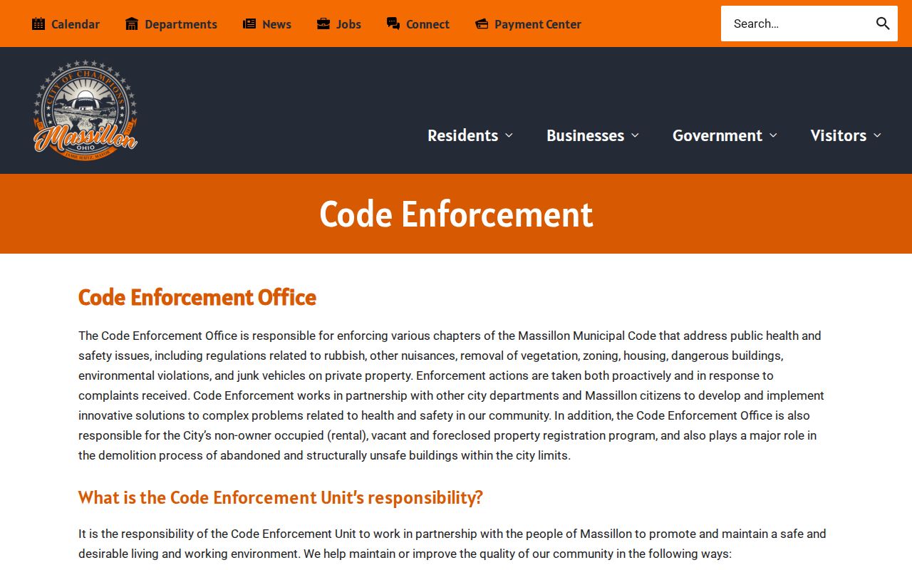
Code status can explain a recorded address event. It should not be used to identify a resident, infer a private routine, or single out a neighbor.
Historic Massillon Neighbors in Burch
For an earlier block, Massillon Memory has selected digitized Burch and Ohio Bell directory volumes. The historic Burch street pages use a street header, intersections or side designations, house number, occupant or business, and sometimes a telephone. That makes the series the strongest located reverse address-to-occupant source for a specific printed year. It is still a snapshot, so compare the edition date with a deed, census release year, obituary, or map before drawing a longer conclusion.
The Massillon Memory directory collection includes a real sequence rather than a promise of an annual run. Its digitized set begins with an 1859-60 Canton/Massillon directory, includes Burch/Potter 1876-77, and continues with selected Burch and Ohio Bell volumes. Massillon’s repeated annexations also mean a historic place reference can fall in a different city or township geography today.
Note: Preserve the printed street wording and house number in the research log, then compare it to the parcel, plat, and map before assuming it matches a current address.
Massillon Voter Privacy for Neighbors
Ohio’s official voter lookup is an individual confirmation tool, not a way to browse a block. The Ohio voter lookup and statewide file entry were unavailable for live field inspection during the research, so a current form layout, cost, export, or street-browse capability should not be guessed. The local Board of Elections and Secretary of State are the appropriate channels for current conditions.
Ohio Rev. Code 3503.153 identifies public web information such as name, date of birth, current residence, precinct, registration date, voting history, and last activity. Other information is excluded, including protected registrations and several identifiers. Voting history records an election date or type, never ballot selections. A status change or missing result is an administrative outcome, not a finding about a person’s location.
Privacy Limits for Massillon Neighbors
Public records do not open every detail around a street address. Parcel and deed sources do not produce a complete household roster. Utility, delivery, motor-vehicle, protected voter, sealed court, juvenile, health, and Safe at Home information are not public block-search tools. Ohio Safe at Home uses a substitute address for qualifying participants, and its protection must be respected. Do not try to infer or expose a protected address from neighboring records.
The distinction between official records and commercial neighbor tools is important. Official sources identify the custodian, record type, date, and limits. Commercial tools often combine material from many dates and may merge people with similar names. Use a primary custodian when a fact needs verification, and treat a map result as a land record until an independent source supports more.
| Official block record | Commercial neighbor category |
|---|---|
| Names the public office, parcel or case source, and record date. | May combine records with unclear dates or source context. |
| Shows whether the fact is ownership, a filing, or an address event. | Can blur those different roles into one profile. |
| Offers a custodian route for correction or copies. | Does not replace a request to the government custodian. |
Lawful use. Use Massillon neighbors records for personal, lawful research and community context. Never use a name, address, or record to watch, threaten, harass, or intimidate another person.