
Massillon Street Directory Starting Point
The most reliable Massillon street-by-street route begins with the Stark County Auditor Real Estate Search. Its Address field accepts a street number, street name, or direction. The official help recommends leaving off a street suffix, and a street name without a number can return matching addresses along that street. Open the resulting parcel profiles one at a time. Each profile is a property record, so treat it as an address and ownership lead rather than proof of a present household.
- Enter the street or full address in the Auditor search. Save the parcel ID, situs address, owner field, tax mailing block, legal description, and any sale references that appear.
- Open the parcel map and compare the selected lot with nearby street results. This confirms the physical parcel before names or dates are carried into another index.
- Search the current owner or prior party in the Stark County Recorder Official Record Search. Narrow broad results with the legal description, subdivision, document type, or dates.
- Use the official voter lookup only to corroborate a supplied individual name where the public result is available. It is not a street-browse list.
- For an earlier household, check a dated Burch or Ohio Bell directory page and compare its house number with the deed, plat, and map trail.
That order keeps the evidence straight: address, parcel, recorded transaction, then any separately dated address listing. It also leaves room for a counter visit when the online index cannot reach the needed era.
Massillon Street Directory Parcel Search
The Auditor profile separates several facts that are easy to blur in an address search. The situs address is the physical location of the parcel. The owner is the tax-roll owner. The tax mailing name and address are where the Auditor sends tax correspondence. A mailing address may be elsewhere, and an owner record does not identify each person at a property. Sales, tax maps, land, sketch, aerial, and value tabs can help confirm that a later record refers to the same parcel.
Use wildcards with care. The official help says owner names use LastName FirstName without a comma and allows asterisks for uncertain spellings. Address searches assume a trailing wildcard. A broad street result is useful for locating parcel profiles, but it remains a parcel-owner result, not a list of occupants.
| Auditor control | Use for a street search | Official note |
|---|---|---|
| Parcel ID | Return to one known parcel | All or part of the number works; the help shows a no-spaces format. |
| Owner | Check a tax-roll owner after an address result | Use last name then first name, with no comma. |
| Address | Find a house number, street name, or direction | Leave off the suffix where possible; a trailing wildcard is assumed. |
| Advanced Search | Narrow a group of property results | Residential/Agricultural and Commercial groups are documented; live criteria vary. |
| Current Search Criteria | Review selected filters before running a multi-criteria query | Add, Edit, and Remove controls are described in the official help. |
| Map search | Place a selected parcel in its physical setting | Use the profile and map together rather than a street label alone. |
Note: The help uses ZIP codes as a multiple-value Advanced Search example, but the current live criteria list was not captured and should be confirmed before relying on a ZIP filter.
Massillon Street Directory Record Chain
Address-keyed records do not all carry the same weight. A parcel profile identifies land and its tax-roll owner. A recorder instrument ties named parties to a transaction and legal description. A permit or code result adds an address event. The Stark County GIS connects parcels, streets, and addresses on a countywide map. Put those functions together before drawing any conclusion about a Massillon address.
| Address record | Custodian | What it can establish | Access route |
|---|---|---|---|
| Parcel profile | Stark County Auditor | Parcel, situs, owner, mailing block, legal description, values, and linked map views | Address, owner, or parcel search |
| Tax map and plat | Auditor Tax Map, GIS, Recorder | Lot, boundary, and legal-description relationship | Map viewer, tax maps, and recorded instruments |
| Recorded instruments | Stark County Recorder | Grantor, grantee, document type, date, instrument or book/page, and legal description | GovOS search, counter, and historic-records assistance |
| Tax history | Stark County Treasurer | Parcel tax information for a selected year | Historic tax query |
| Permit and inspection status | Massillon Building Department | Address-linked work and inspection activity | Public iWorQ permit search |
| Historic street page | Massillon Memory | A dated printed occupant or business snapshot | Digitized directory collection |
Parcel ID and legal description are the useful bridges when a street number changes or a lot is split. A plat can explain why a deed describes a lot or subdivision rather than the familiar house number.
Massillon Street Map Clues
Stark GIS identifies parcels, streets, and addresses as its key base layers. From an Auditor result, open Maps to see the selected parcel. The documented controls include zoom, pan, full extent, back and forward views, freehand or box selection, Identify, layers, measurement, printing, and image download. These tools are useful for confirming whether a house, lot, or street segment is the one named in a record.
A parcel is the recorded unit of land in the tax system. A situs address is its physical street location. A plat is a recorded map that can show lots, blocks, or subdivisions. A criss-cross directory is an address-first printed directory, often arranged by street and house number rather than by surname. Those terms point to different evidence and should not be treated as interchangeable.
- Parcel ID
- The Auditor’s identifier for a specific piece of property, useful for returning to the correct profile.
- Legal description
- The lot, block, subdivision, or other land wording used in recorded property work.
- Tax map
- A map created from deeds, plats, and survey work that helps relate parcel boundaries to a street.
- Historic aerial
- A past image of the built landscape. It can support a physical timeline, not a household list.
The GIS data service offers historical maps from about the 1940s to 1997, pre-1940 “660” maps, scanned surveys, and selected aerial years. Confirm the specific file and coverage in the live service before treating it as evidence for one Massillon property.
See the Stark County GIS page before using the viewers or data services.
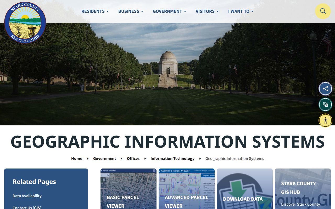
The GIS service supplies the map layer between a Massillon street name and the selected parcel profile.
Massillon Address Deed Trail
The Recorder is where a Massillon address search becomes a document trail. The current GovOS landing screen provides Quick and Advanced Search tabs, a Real Property department selector, a Search Term box for a grantor, grantee, subdivision, document type, or document number, a date range, preset recorded-date periods, and index-only or index-and-OCR scope choices. Index-only searches two or more words individually. OCR searches them as a phrase in document text.
Start with the parcel owner as grantee. Open the acquisition deed, preserve the grantor, grantee, recorded date, instrument number or book/page, and legal description, then search the named grantor as grantee for the prior acquisition. Compare the legal description at every step. A mortgage, release, or lien may matter to a property history, but it does not by itself show a sale.
Stark County says it retains land documents from 1809. Its former quick-search guide documented simple name results from 1982 forward, while the current portal does not publish a verified all-years online range. For older or uncertain material, take the legal description and any book/page reference to the Recorder counter or ask for its historic-records and archives route.
Use the Stark County Recorder office for contacts, history, fees, fraud-alert information, and the official links to its record search.
The Recorder office is the fallback for a Massillon deed trail when an online result is incomplete or the historic index needs help.
Massillon Street Address Events
Massillon’s Building Department adds a work-history layer to a street search. Its public iWorQ permit search exposes Permit #, Parcel Address, Primary Contractor, a documented DBA Name route, and Start or End Date fields. Results show Permit #, Permit Type, Parcel Address, Status, Request an Inspection, and View. A live detail can require reCAPTCHA, so a result should be checked in the official portal rather than guessed from a search listing.
Code Enforcement separately links a violation-status search. The research captured the City’s confirmation that the status search exists but did not capture a public field inventory. A permit applicant, contractor, complaint, or code event is evidence of activity at an address. It is not evidence that the named person lived there.
Open the Massillon iWorQ permit search to begin an address or date-range query.
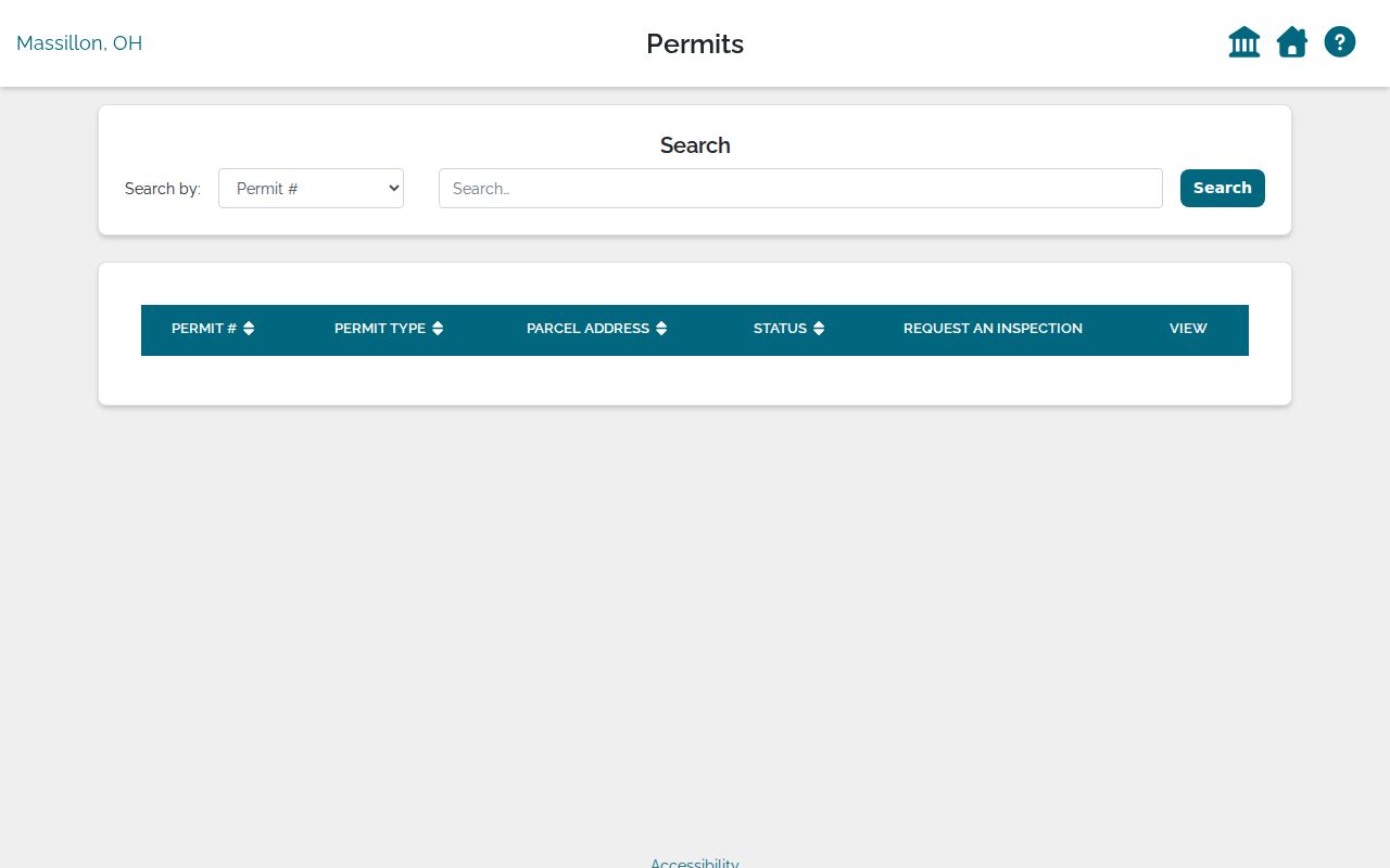
The permit interface shows why an address event belongs beside a parcel record, not in place of one.
Check the City’s code case search for the separately linked violation-status route.
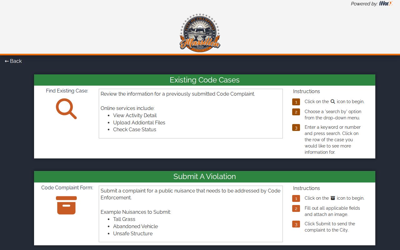
Code status can help date an address history, but the portal does not establish a complete roster of people at that location.
Massillon Street Name Changes
Old street wording can interrupt an otherwise sound address search. City history identifies old State Road as later Lincoln Highway. Massillon Police history also describes Tremont and Duncan as today’s 6th SW. These are documented crosswalks, not proof of a citywide renumbering rule. Preserve the street wording printed in the old source and test a current name against parcel, plat, and legal-description evidence.
Annexation adds another caution. The City’s chronology records repeated boundary changes, including South Massillon in 1983 and West Massillon in 1991. A historical Massillon place reference may therefore belong to a different city or township geography today. The city assigns house numbers within city limits, while Stark Regional Planning assigns them in unincorporated areas.
Note: Massillon’s historic aliases are useful leads, but no official master street-renaming ledger or rename date was located in the research.
Massillon Street Directory in Print
For historic address-to-occupant work, a dated Burch address-first directory is stronger than a modern property profile. Digitized 1940 pages use a street header, intersections or side designations, house number, occupant or business, and sometimes a telephone number. The 1922 Ohio Bell volume uses r where the following name designates a residence, plus a private-branch-exchange mark. Read the legend on the actual local page before assigning a meaning to any symbol.
Massillon Memory offers selected Burch and Ohio Bell volumes, while the Recorder, parcel file, census releases, and historic maps can test the address through time. The historical collections themselves are handled in greater depth in the Massillon city directories.
Open the digitized Burch street-directory pages to search the documented printed material.
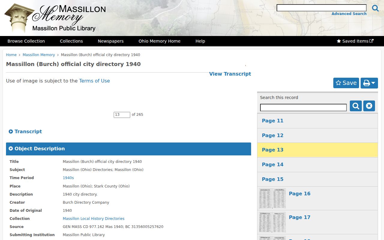
A dated Burch page can connect a Massillon house number to a printed snapshot, while the parcel and deed records keep the land trail separate.
Massillon Voter Confirmation
Ohio’s voter tools are a limited individual-confirmation channel, not a Massillon street-browse feature. Ohio Rev. Code 3503.153 identifies public web information such as name, date of birth, current residence, precinct, registration date, voting history, and last activity, while Ohio Rev. Code 3503.13 excludes protected identifiers and confidential registrations. A public result can be compared with a supplied name and address, but it should not be used to assemble a street roster.
The official Ohio Voter Lookup and statewide file route displayed maintenance or access protection during the research, so the live form fields, result columns, fee, and request format were not captured. For a defined public-record request, contact the Stark County Board of Elections or the Secretary of State through the official channel. A nonmatch may reflect data entry, a protected record, or a different lawful condition rather than a conclusion about a person’s history.
Massillon Street Directory Limits
A Massillon address-record trail has firm limits. Parcel and recorder records can identify an owner or recorded party. Permit and code entries can identify an address event. They do not reliably identify every occupant, delivery recipient, utility customer, vehicle registrant, protected voter, or association participant. Ohio’s official voter tool is an individual registration check, not a browseable street roster.
Ohio’s public voter-record rules protect full or partial Social Security numbers, driver or state ID numbers, phone and email information, Safe at Home registrations, shielded public-safety-worker addresses, proof of citizenship, and other restricted information. A missing result can reflect a name issue, a data condition, or a lawful protection. It is not proof that someone has never lived at an address.