
Massillon ZIP Code Directory Routes
Three postal routes are verified for Massillon: 44646, 44647, and 44648. The evidence supports a careful postal statement, not neighborhood boundaries. A 2015 USPS Postal Bulletin lists all three under Massillon mail routing, and Ohio’s 2025 post-office list groups the same range. The USPS ZIP Code Lookup remains the right check for an individual address because a city name and a ZIP do not define the legal city limit.
| ZIP | Verified area or postal use | Post office | Record note |
|---|---|---|---|
| 44646 | Standard Massillon postal use; City Hall, Main Library, and City contacts commonly use it | USPS Massillon Post Office, 333 Erie St. S., Massillon, OH 44646-9998 | USPS routing includes it; phone listed as 330-837-8323. |
| 44647 | Included in the USPS Massillon routing scheme | Specific facility detail was not located in the research | A City Westbrook association contact is one Massillon 44647 example, not a boundary. |
| 44648 | Included in the USPS Massillon routing scheme | Specific facility detail was not located in the research | A City Franklin Village association uses a 44648 PO Box example; it is not proven PO-box-only. |
Postal geography is designed for delivery. It is not a map of neighborhoods, property-tax districts, city limits, or voter precincts. Use the three routes as a validated mailing range, then verify the particular street number.
See the USPS Massillon Post Office listing for the confirmed 44646 facility details.
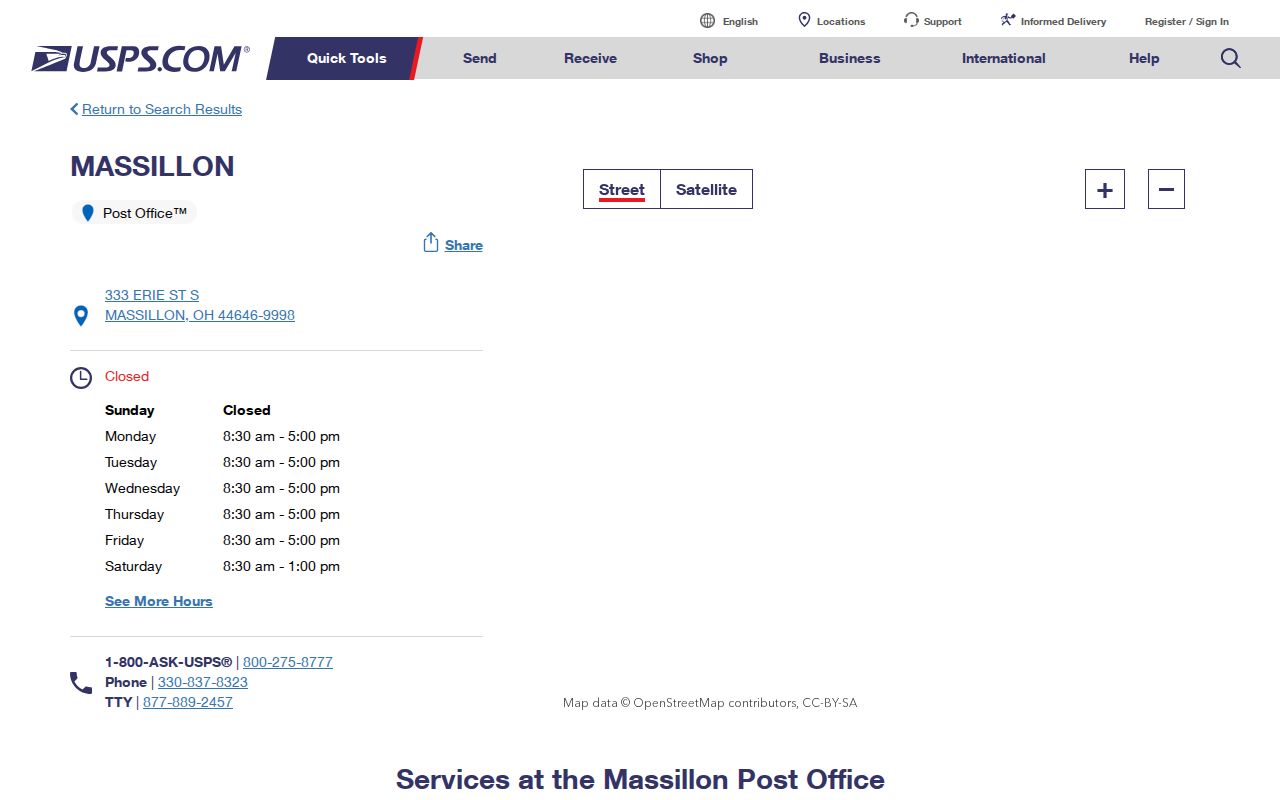
The Post Office result verifies one facility and route, while an address lookup handles the final mailing check.
Massillon Postal Address Check
Use USPS before searching county property records. The official tool offers City/State and address lookup modes. Enter the complete address and keep the standardized ZIP and street suffix with the search notes. This prevents a similar street name or an older street form from being carried into the Auditor search. A postal answer only standardizes delivery information. It does not identify the owner, household, city jurisdiction, or tax district.
- Enter the complete Massillon address in the USPS lookup and record the returned ZIP and standard street form.
- Search the address in the Stark County Auditor portal. The official help recommends omitting the street suffix for the address query.
- Check the parcel’s city, taxing district, situs address, and legal description instead of relying on ZIP alone.
- Open the county GIS map if the mailing label and parcel location appear inconsistent.
- For a historic address, retain the old street wording and compare it with deed, plat, and directory evidence.
The USPS ZIP lookup is the first verification point because it tests the address actually used for delivery.
USPS verification keeps a Massillon property search tied to a real mailing address rather than a broad postal assumption.
Massillon ZIP Code Directory Property Search
The Stark County Auditor Real Estate Search is the local property route after a postal address is confirmed. Basic Search accepts Parcel ID, Owner, and Address. Owner names use last name then first name without a comma. Address search accepts a number, name, or direction, and a street-only search can return matching addresses. The property profile distinguishes the situs address from the owner and tax mailing fields, so it should not be treated as a list of people at a postal route.
The official Advanced Search help describes dynamic criteria, Current Search Criteria, Add, Edit, and Remove controls. It gives comma-separated ZIP values without spaces as an example for multiple values. The exact present criteria dropdown was not exposed during research. Confirm that a ZIP criterion is available in the live interface before running a ZIP-wide property query.
| Property search field | Use after postal verification | Format or limit |
|---|---|---|
| Parcel ID | Return to a known property | All or part of the number can be searched; official examples omit spaces. |
| Owner | Check the tax-roll owner on a matched parcel | Last name then first name, no comma; wildcard help is documented. |
| Address | Locate the verified house number or street | Omit the suffix where possible; a trailing wildcard is assumed. |
| Advanced Search group | Build a multi-criteria query | Residential/Agricultural and Commercial are documented groups. |
| Dynamic criteria | Add a criterion if available live | The static research did not expose the complete current dropdown. |
| ZIP example | Potentially enter more than one confirmed route | The help illustrates comma-separated values with no spaces. |
Note: A property record shows a parcel, tax owner, mailing contact, legal description, and related facts. It does not prove every person currently at the address.
Massillon ZIP Resident Search Steps
A ZIP narrows the starting area, but a resident search needs an address and a record type. Begin with USPS, then move to the Auditor and GIS. If the goal becomes a named street rather than a postal route, the address-level sequence belongs in the Massillon street directory. Keep the parcel ID and legal description with the result so that a deed or older map can be matched to the same land.
The recorder is useful once the property search produces an owner or legal description. Stark County’s Official Record Search can query a grantor, grantee, subdivision, document type, or document number and can be limited by recorded dates. The Recorder says its land documents reach back to 1809, but the current portal does not publish an all-years online range. The former quick guide described simple online name results from 1982 forward, so older work may require the Recorder counter or historic-records assistance.
Ohio’s individual voter lookup can be used for a supplied person when the official service is available. It is not a ZIP-browse roster. The research could not capture its live fields, results, fee, or request format because official access protection and maintenance blocked inspection. Ask the Stark County Board of Elections or Ohio Secretary of State through the official channel for a defined public-record request rather than assuming a download field or price.
Massillon ZIP Postal Boundaries
ZIP boundaries and Massillon city limits answer different questions. USPS creates routes for delivery. The City assigns house numbers within city limits, while Stark Regional Planning assigns them in unincorporated areas. The Auditor and GIS describe parcels and taxing districts. Those systems can meet at one address, but they should never be substituted for one another.
- ZIP
- A USPS delivery code, best confirmed for a full mailing address through the official lookup.
- ZIP+4
- An added delivery detail used with a base ZIP. It is not a parcel or city-boundary identifier.
- PO Box ZIP
- A route used with post-office boxes. A single PO Box example does not prove that a whole ZIP is box-only.
- Carrier route
- A postal delivery grouping. No current Massillon carrier-route classification was located in the research.
- Legal description
- Land wording such as lot, block, or subdivision that can bridge a parcel to deeds and plats more reliably than a mailing label.
Massillon ZIP Annexed Edges
Massillon’s annexation history explains why postal and municipal geography can diverge across time. The City’s chronology records a pre-1940 area of 6.986 square miles, South Massillon annexation in 1983, West Massillon in 1991, and later additions. A historic Massillon mailing or place reference can therefore fall in a different city or township setting today. Use the countywide GIS for the physical location and the City’s annexation chronology as a boundary cross-check.
City history provides another geographic clue: original Massillon was recorded in 1826 along Main Street, now Lincoln Way, with Erie Street beside the canal. Old State Road later became Lincoln Highway. Such names are address-continuity leads, not proof that a modern ZIP applied in an earlier period.
Open the Massillon city history for the documented place transitions behind those address changes.
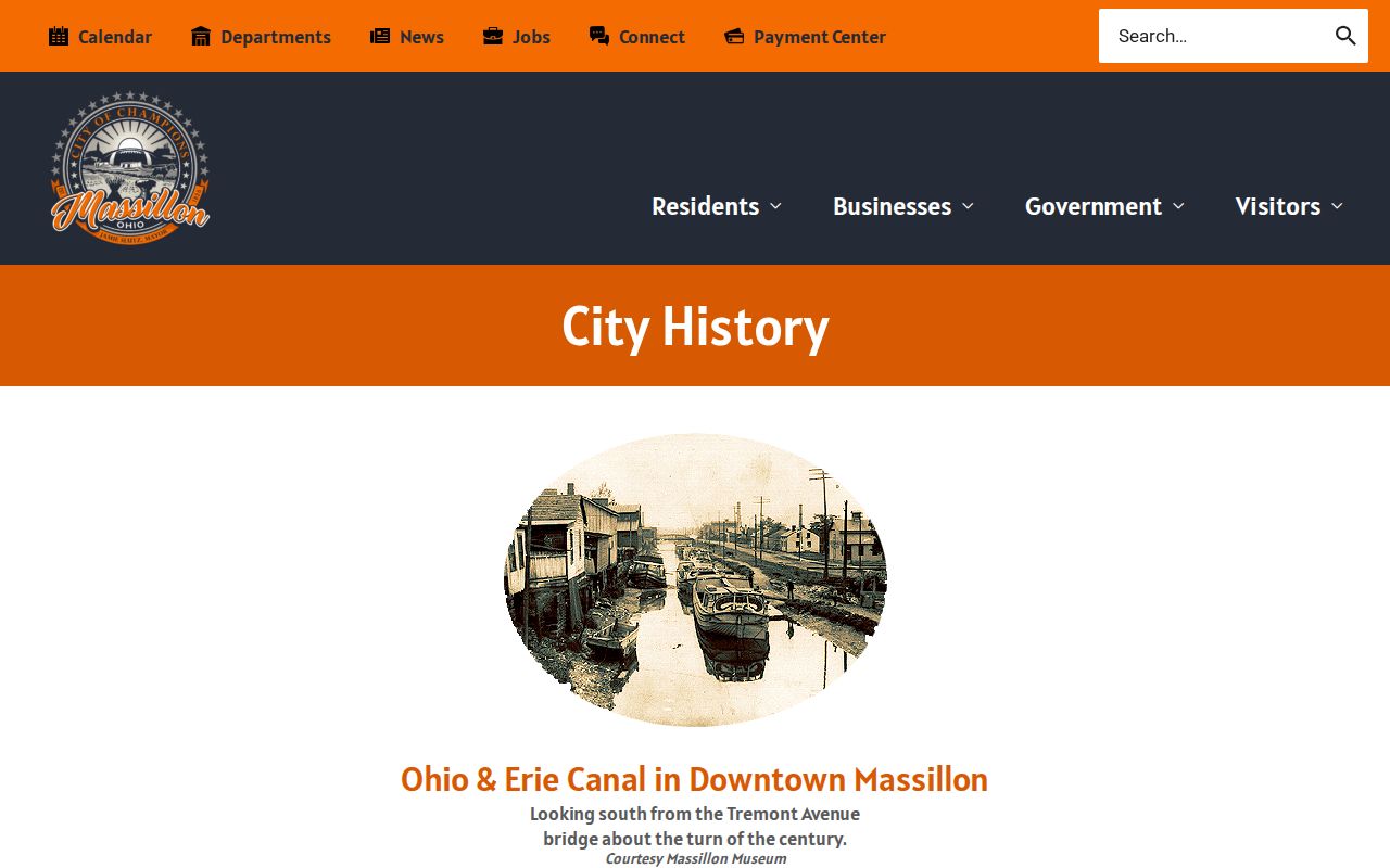
The City history supplies context for a Massillon address trail, while USPS supplies the delivery verification for a current address.
Massillon ZIP Historic Address Keys
A modern postal route is a weak key for an older address. City history identifies original Massillon along Main Street, now Lincoln Way, and the City Police history describes Tremont and Duncan as now 6th SW. Keep the historic wording from the source, then test it through the parcel, legal description, plat, recorder instruments, and dated street directories. A current ZIP check can standardize a present address, but it cannot translate an old street name by itself.
For a historic household trail, Massillon Memory’s Burch street directories give an address-first snapshot with street heading, intersections or side designations, house number, and an occupant or business entry. The county GIS historical maps, selected aerial years, and recorded land descriptions can help establish physical continuity. Neither source creates a complete resident list, and a historic listing should be read with its publication date in mind.
Massillon ZIP Code Directory Evidence
The postal evidence is intentionally modest. The 2015 USPS Postal Bulletin places 44646, 44647, and 44648 under Massillon routing. It does not define a current neighborhood map or reveal which streets belong to every route. The official records search found no citywide ZIP-boundary map, ZIP population or registration statistics, verified current parcel field labeled ZIP, or local realignment history. Keeping those gaps visible prevents a narrow postal fact from becoming a false local boundary.
Read the USPS Postal Bulletin listing for the documented Massillon routes.
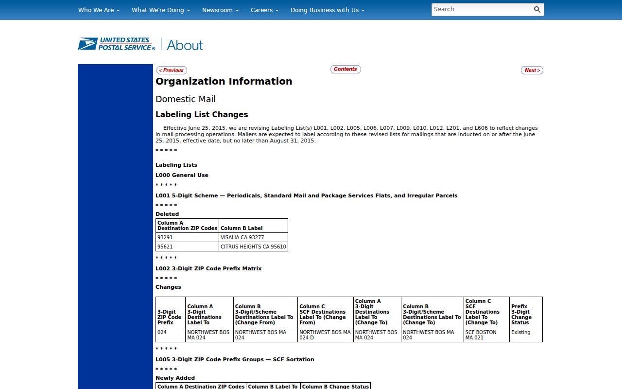
The Postal Bulletin supports the verified route range, not a street-by-street boundary claim.
Massillon’s 2020 Census count of 32,146 residents and roughly 19.388 square miles of area provide city-scale context only. They do not divide people or land among the three USPS routes.
Use the Census QuickFacts record for that citywide context.
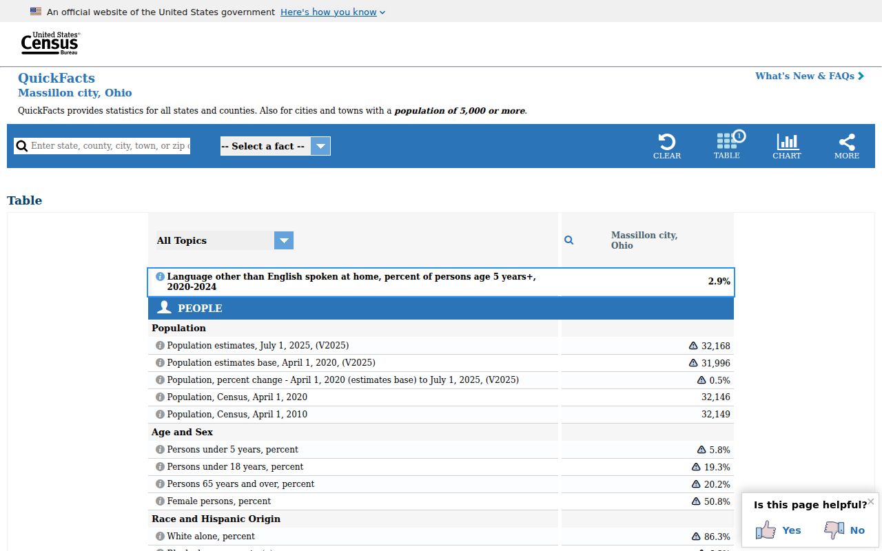
The Census view provides a citywide reference point and should not be used as a postal-boundary or address-level record.