
Massillon Previous Residents By Era
One address leaves several different trails. The Stark County Auditor supplies the current parcel anchor, while the Recorder holds the instrument trail behind it. Digitized directories are closer to historic address-to-occupant evidence, and census releases offer dated household snapshots. Maps, aerials, permits, and Museum collections add a building layer. None of these sources alone proves every former resident, so use the source that matches the question and retain the date attached to it.
| Source | Years it covers | Where held | What it shows |
|---|---|---|---|
| Recorder land documents | Holdings from 1809; complete online range not published | Stark County Recorder search and counter | Recorded instruments, parties, and legal-description chain |
| Recorder simple name guide | 1982-present | Former official quick-guide route | Online name and instrument starting point, not all historic documents |
| Williams and Burch directories | 1859-60; selected 1876-1945 editions | Massillon Memory | Person, business, street, and address snapshot |
| Ohio Bell directories | 1922; selected 1925-1947 editions | Massillon Memory | Telephone, address, and classified evidence |
| Federal census | Public releases through 1950 | Census and on-site genealogy databases | Household snapshot by enumeration date |
| Sanborn maps and aerials | Sanborn 1908 and 1919; aerials 1934-1997 | LOC, library resources, and Stark GIS | Street and structure chronology, not occupancy |
Start with the parcel when the address is known today. Start with a directory when a family name and an approximate year are known. For an early record that does not appear online, move to the Recorder counter, library, or archive instead of treating the first web result as the beginning of the trail.
The public Stark County parcel profile shown below demonstrates the kind of current anchor available from an address search.
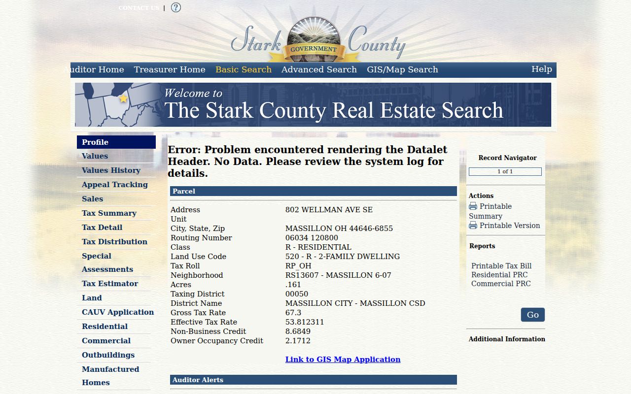
A parcel profile separates the situs address from the owner and tax mailing block. That distinction is essential because a tax owner or mailing contact is not automatically a person who lived at the property.
Massillon Parcel Trail For Past Residents
The Stark County Auditor Real Estate Search is the practical current starting point. It accepts parcel ID, owner, or address. The official help says an address search can use a street number, name, or direction, with the street suffix omitted for best results. The profile gives a parcel identifier, situs address, owner, tax mailing name and address, legal description, credits or programs, sale references, and linked map, tax, sketch, and value views.
Save the parcel ID, legal description, tax district, and any sale or transfer reference before moving to deeds. The address is familiar to a reader, but the legal description and parcel details are more dependable bridges when a lot was split, combined, replatted, or described differently in a historic instrument. The Auditor's page is a research citation, not a current occupancy list.
Next, compare current building evidence when it helps date a structure. Massillon's iWorQ permit search offers Permit #, Parcel Address, and Primary Contractor search modes, a documented DBA Name route, Start and End date fields, and result columns for permit number, type, parcel address, status, inspection request, and view. A permit can date work or inspection activity, but it does not establish who lived there.
Note: A permit applicant or contractor can supply a date lead but does not identify a past household.
Massillon Previous Residents Deed Trail
Use the current parcel owner and legal description to enter the Stark County Recorder Official Record Search. The public landing page has Quick and Advanced Search tabs, a Real Property department selector, a search-term field, date range, recorded-date quick periods, and index-only or index-and-full-text OCR choices. The former official guide said that a last name and first name should be entered without punctuation for its name route. The current portal does not publish a complete historic online range.
For the deed chain, find the current owner's acquisition deed as grantee and compare its legal description with the parcel. Write down the grantor, grantee, recorded date, instrument number, book or page when shown, and subdivision or lot wording. The acquisition deed's grantor is a likely earlier owner. Search that party as grantee to find the previous acquisition, then repeat. A mortgage, release, or lien is part of a property record but does not by itself prove a sale.
- Search the Auditor by address and preserve the parcel ID, present owner, legal description, and sale references.
- Search the Recorder for the present owner as grantee, using the legal description, subdivision, document type, or date to narrow broad results.
- Open the acquisition deed and compare its legal description with the parcel before treating it as the same property.
- Search that deed's grantor as grantee to locate the earlier acquisition, then repeat the comparison.
- When a split, combination, plat, or replat appears, check the Tax Map references before continuing the line.
- Grantor
- The party transferring an interest in a recorded instrument.
- Grantee
- The party receiving that recorded interest. In a backward deed search, that name often leads to the earlier acquisition.
- Chain of title
- The linked sequence of recorded transfers for the same property. It is tested by dates and legal descriptions, not just a matching street address.
- Legal description
- The lot, subdivision, metes-and-bounds, or other land wording used in the record. It can remain useful when street names or house numbers change.
The Recorder's history and holdings page is the source for the image below. It confirms the depth of the county's land-record holdings while leaving the online reach of every older record unclaimed.
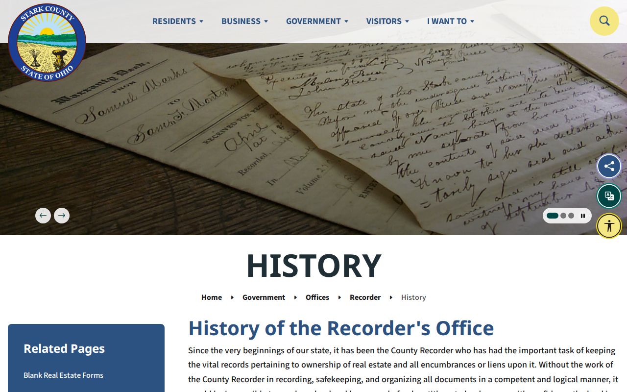
The Recorder preserves land documents from Stark County's beginning in 1809, including historic material and presidential land patents. That record depth makes the counter and archive route important when the online search cannot supply an earlier link.
Massillon Previous Residents Beyond 1982
The 1982 date deserves careful wording. A county-hosted prior quick guide documented simple online name results from 1982 to the present, yet the Recorder's history says county land documents reach back to 1809. The first is an old online-guide limitation. The second is a statement about county holdings. Neither claim proves that every early instrument can be retrieved through today's landing page.
For a pre-1982 deed or an uncertain search result, bring the instrument number, book and page, parcel details, or legal description to the Recorder at 110 Central Plaza South, Suite 170, Canton. The office lists weekday hours of 8:30 a.m. to 4:30 p.m. The Auditor Tax Map counter can help locate a readily available prior transfer reference for property transferred after 1982 and a transfer date for older work, but it does not perform a full title search or prove every reference.
Note: Keep the legal description with a counter request because the postal address alone can fail after a street change or parcel reconfiguration.
Massillon Directories Find Past Residents
After the deed work identifies an ownership era, use a dated address listing to test the household layer. The verified 1940 Burch street pages organize material by street header, intersections or side designation, house number, occupant or business, and sometimes telephone. That makes them the strongest located historic route from a Massillon address toward an occupant or business listing. The Ohio Bell 1922 material uses an r mark for a residence when its local legend is visible.
Directories are not complete household proof. They can omit a person, use a variant spelling, or list a business rather than a household. Federal census releases through 1950 add a separate enumeration-date snapshot. An obituary or probate record can then provide a dated event or estate context. The historical publishers, runs, reading rules, and library access channels are collected on the Massillon city directories page.
- Write down the exact directory year, publisher, page, spelling, and printed address.
- Check the nearest available earlier and later directory editions for the name and street form.
- Compare the closest public census year as an independent household snapshot.
- Use a deed to test an ownership date and an obituary or probate record only for its own event evidence.
- Preserve conflicts instead of deciding that a similar name is the same person.
This pairing is especially useful between census decades. It creates a dated sequence of evidence without turning any one address listing into proof of a relationship or a complete resident list.
Massillon Maps Date Old Addresses
Maps and building records answer a different part of house history: whether the physical setting or structure changed. Massillon has verified 1908 Sanborn maps with 19 sheets and 1919 Sanborn maps with 35 sheets. Stark GIS also lists aerial years for 1934, 1942, 1950, 1958, 1965, 1972, 1975, 1980, 1985, 1991, and 1997, plus historical map and survey resources. Select the exact Massillon coverage from the live service before relying on a file.
Compare those visuals with the Auditor's building or sketch information, iWorQ permit status, and the Recorder's plat or legal-description trail. A documented construction, addition, or street layout change may explain why a directory entry changes. It still does not identify a person at the property on that date.
The Stark GIS historical data page is shown below. It is the local route for choosing tax-map, aerial, and survey material rather than treating an undated image as a complete property history.
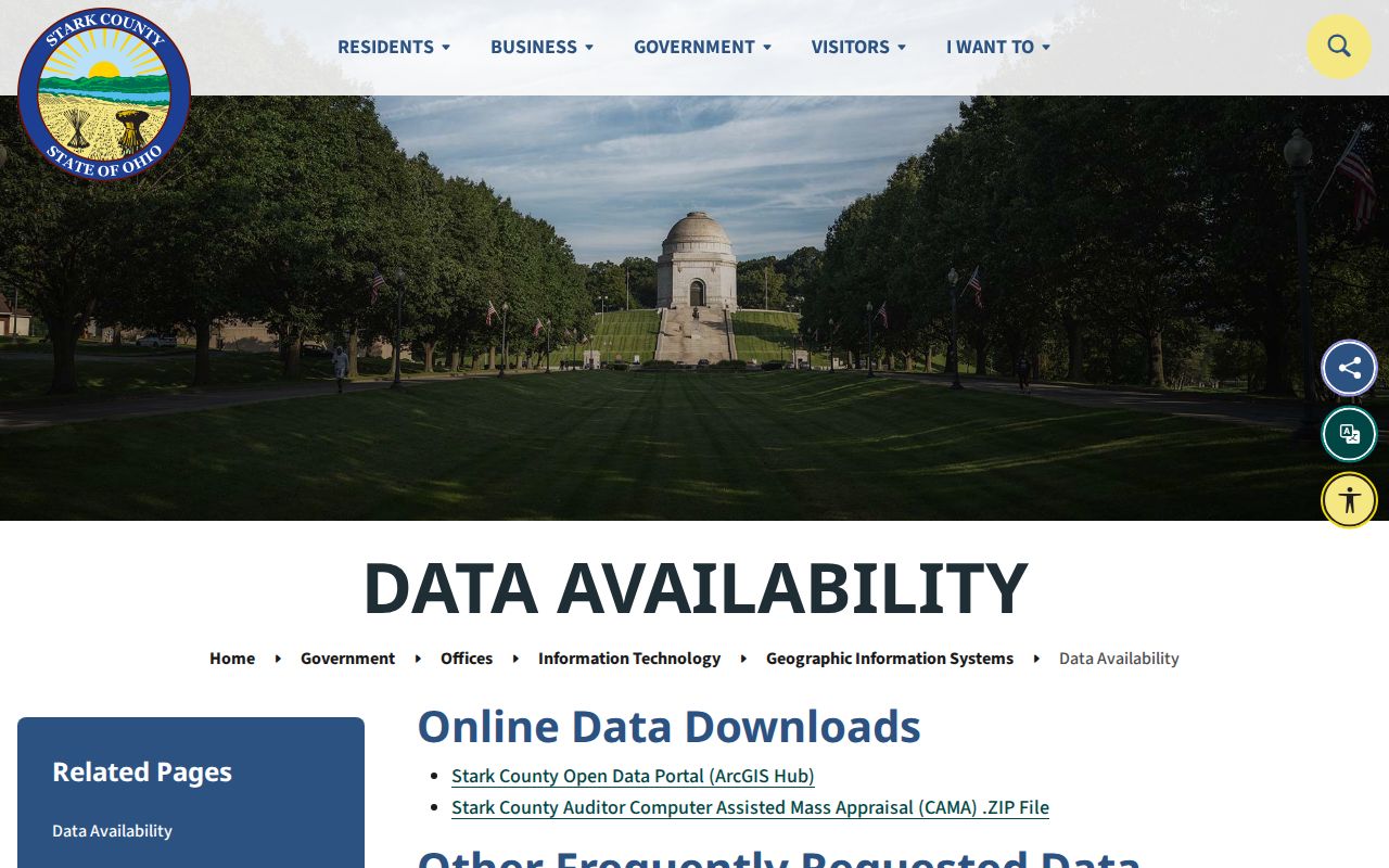
Massillon Museum adds street-indexed residence photographs and more than 600 blueprints. Major blueprint collections span the 1920s through the 1950s and the 1950s through the 1980s, with viewing arranged by request.
Note: Aerials and Sanborn maps document form and setting; neither replaces a dated occupant record.
The Museum's research resources lead to the house-history screen below. The appointment route is appropriate when a parcel or street detail needs local archival context.

Photos and blueprints can support the history of a structure. They should be paired with a parcel, deed, or dated directory when linking the building to a particular address.
Massillon Old Address Crosschecks
Do not discard a result simply because an older street wording fails in a modern search. City history says old State Road later became Lincoln Highway. A City Police history reference describes a 1920 location as Tremont and Duncan, now 6th S.W. No authoritative master ledger of every renumbering or exact renaming date was located, so record the historical wording and test it through the parcel, lot, plat, subdivision, and legal description.
City boundaries changed as well. The annexation chronology records a pre-1940 area of 6.986 square miles, South Massillon's annexation in 1983, West Massillon's annexation in 1991, and later additions. A historic Massillon mailing or place description can therefore refer to a different city or township geography than the same address today. Use the recorded land description to bridge that change.
Massillon Previous Residents And Probate
When a directory or deed sequence ends around a death or estate event, probate can provide context, but it should not be used as a shortcut around the rest of the trail. Stark Probate lists an estate index from 1809 to 1914, marriage index from 1809 to 1972, marriage records from 1809 to 1916, wills index from 1811 to 1942, and wills into the 1980s. The court says older series were moved in 1988 to University of Akron and Stark County District Library archives.
The Stark Probate historic records page is the lead-in for the image below. Check the listed archive route and record series before making a copy request, because an estate reference can establish a court event without proving continuous residence.
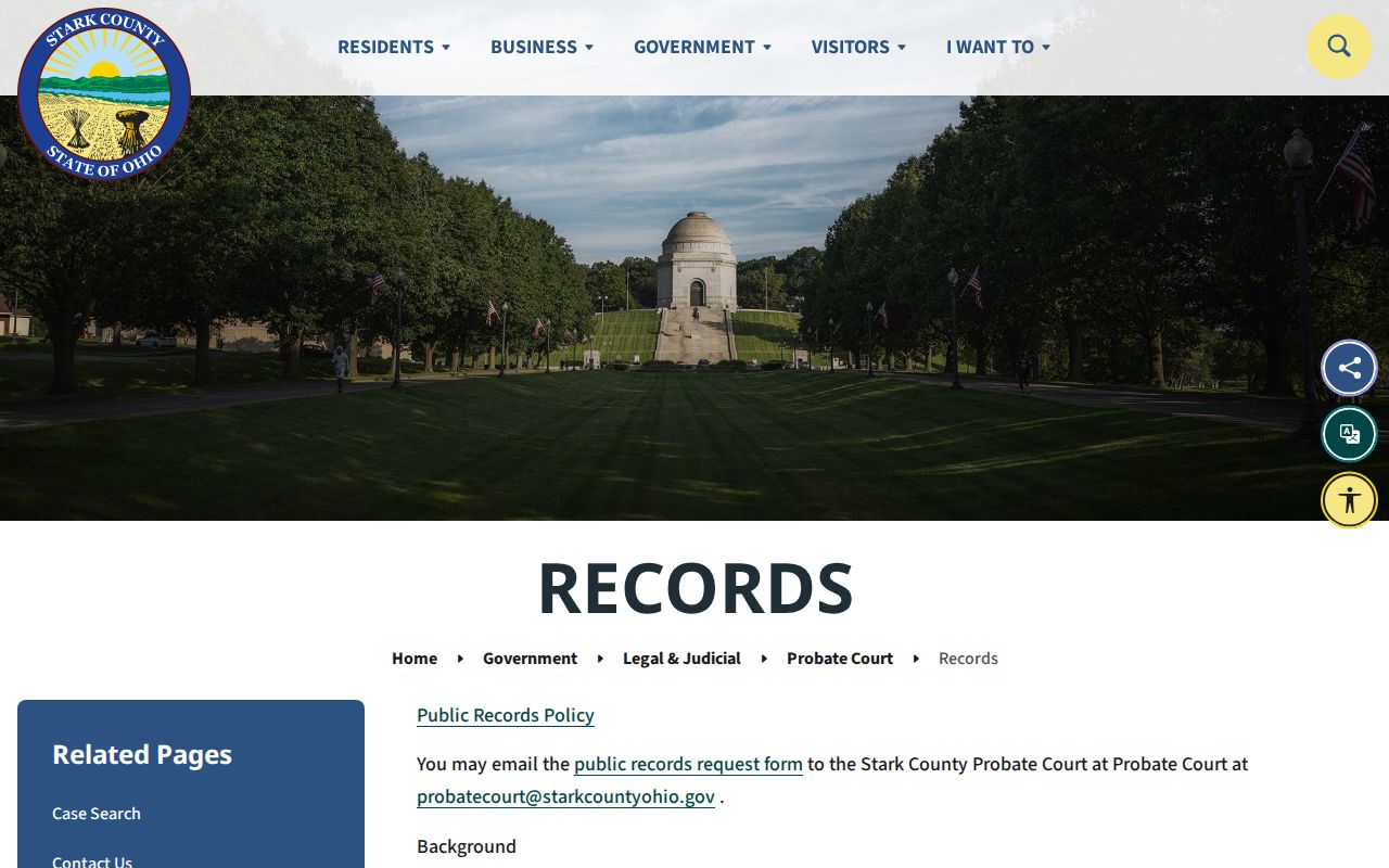
Use past-resident research for family history, house history, estate questions, and personal curiosity. Do not use a former address trail to harass, track, or harm any living person.